TBD M 38 Highway
Greenland, MI 49929
$32,500
MLS# 50170546
LISTING STATUS
PROPERTY DESCRIPTION
LEGAL DESCRIPTION
Location
|
SCHOOL DISTRICT Ontonagon Area Schools |
|
COUNTY Ontonagon |
WATERFRONT No |
|
PROPERTY TAX AREA Greenland Twp (66008) |
|
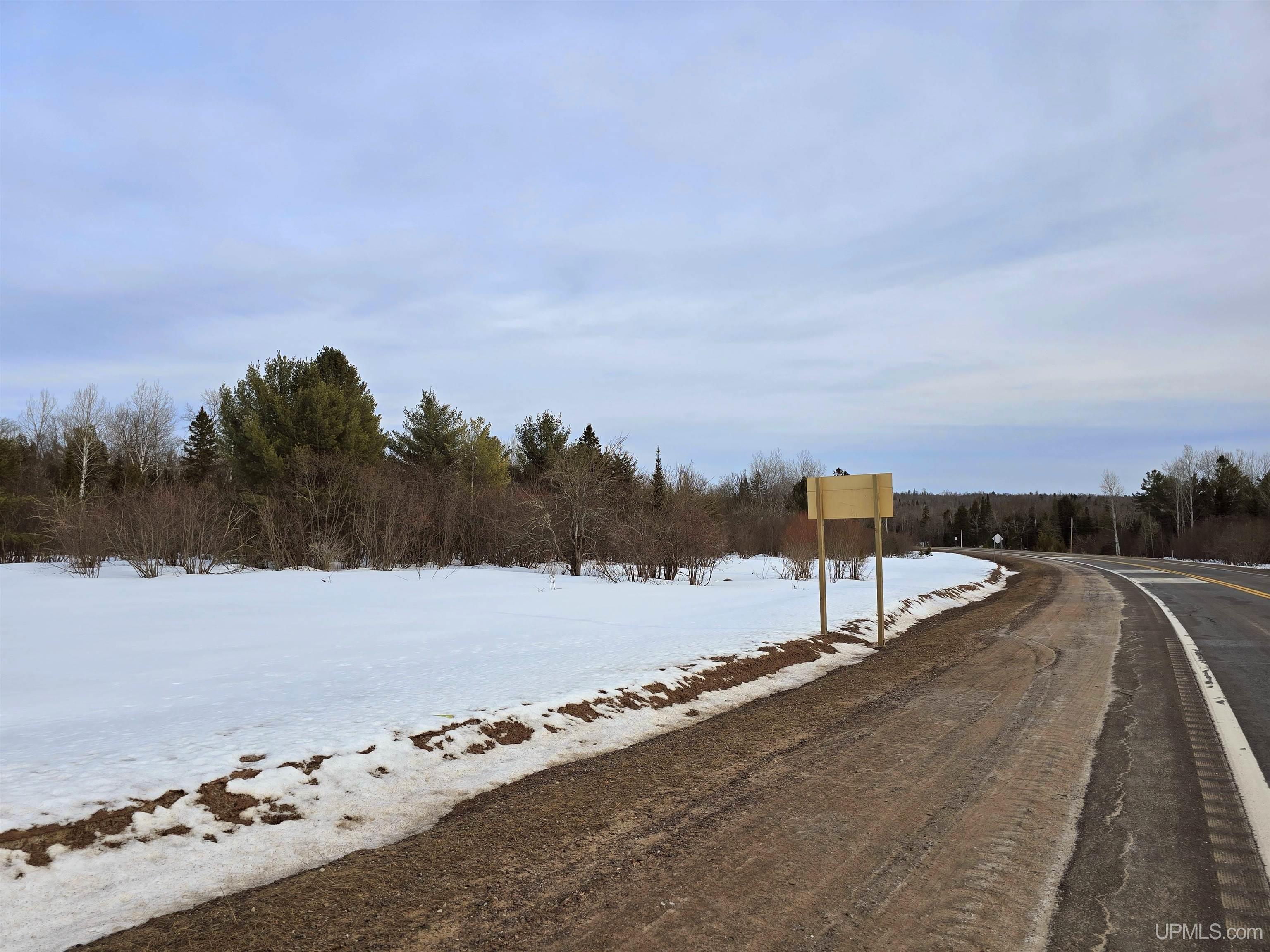
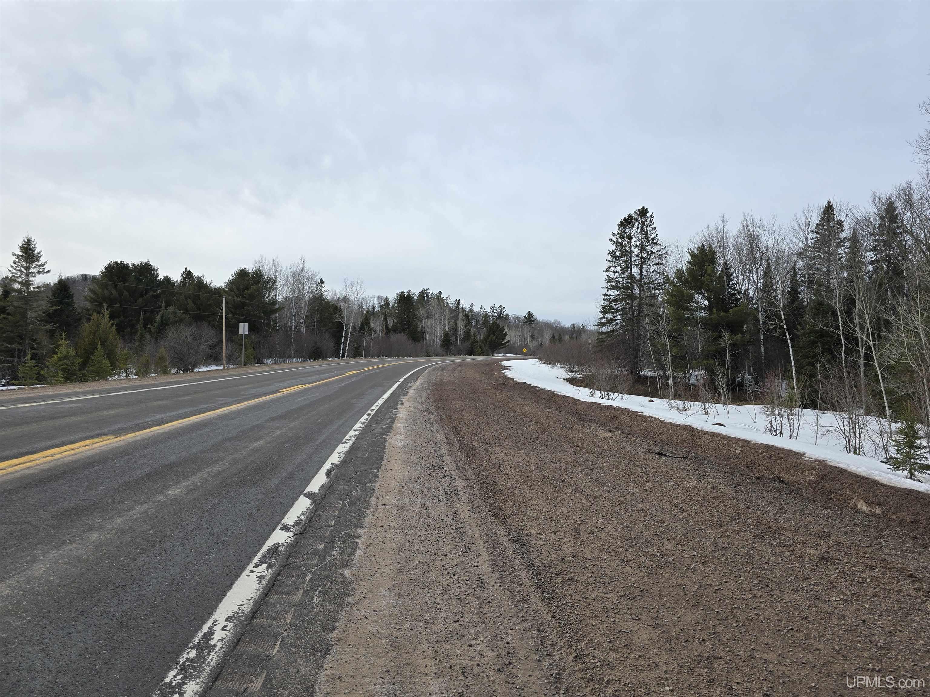
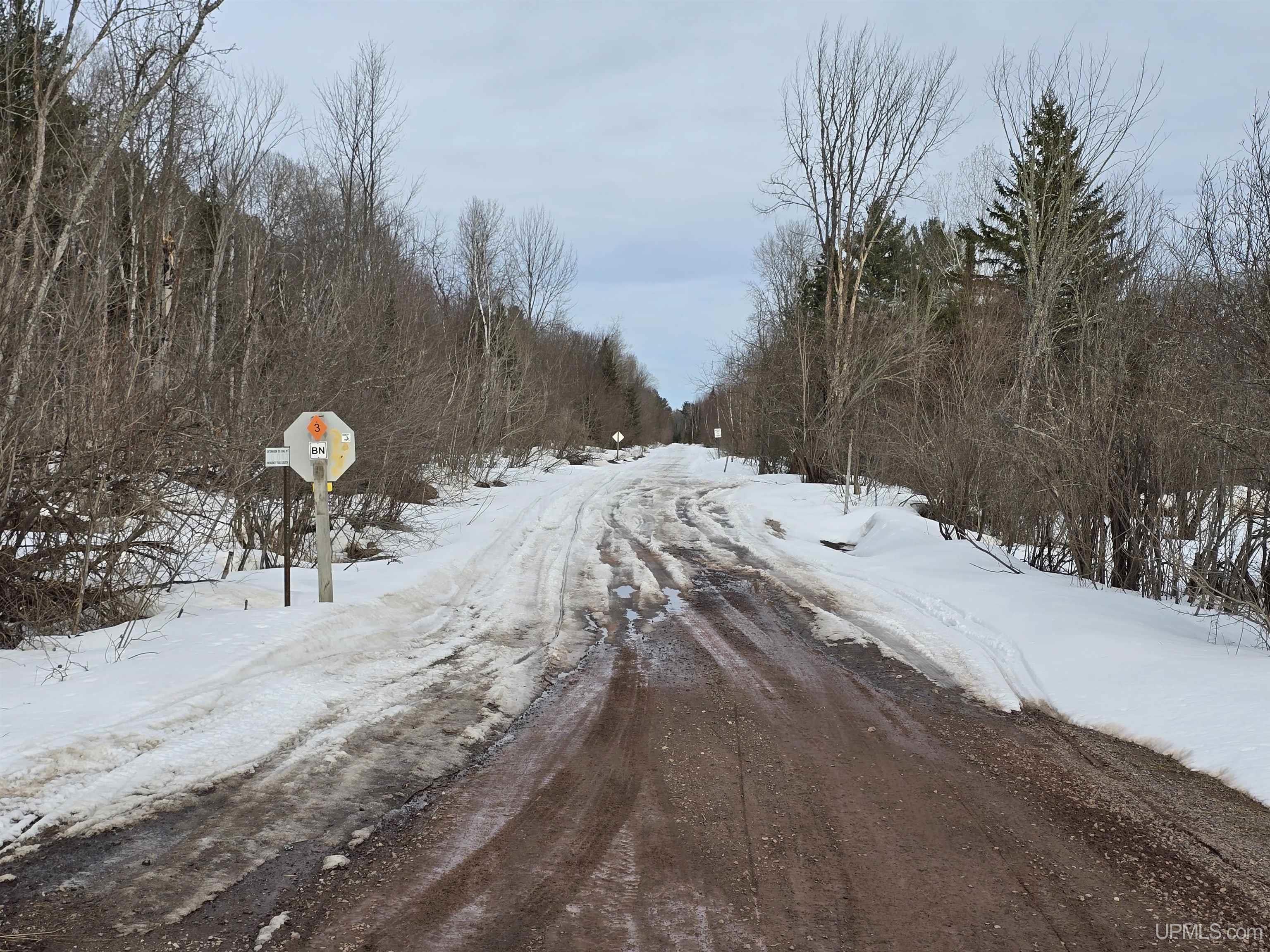
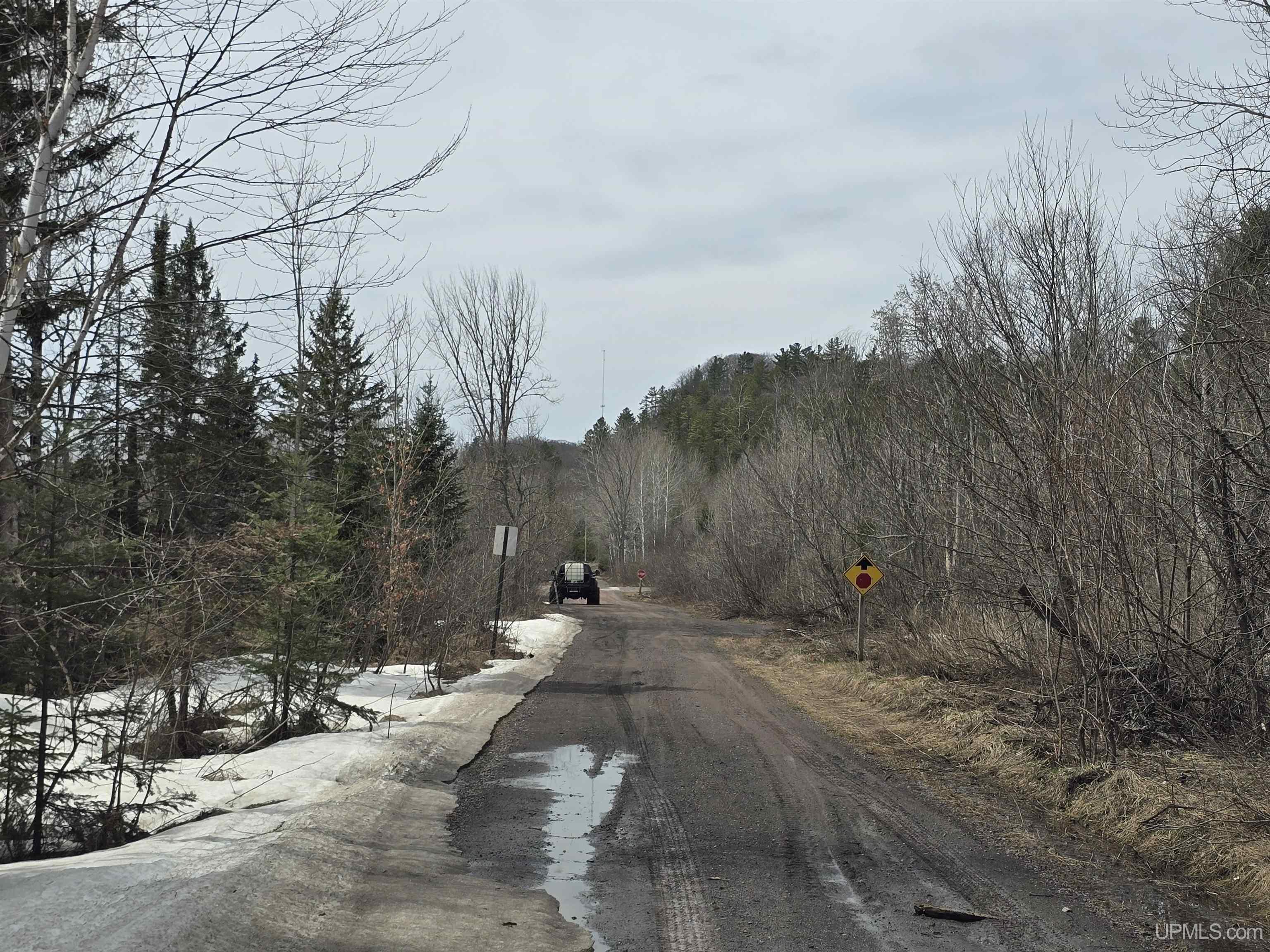
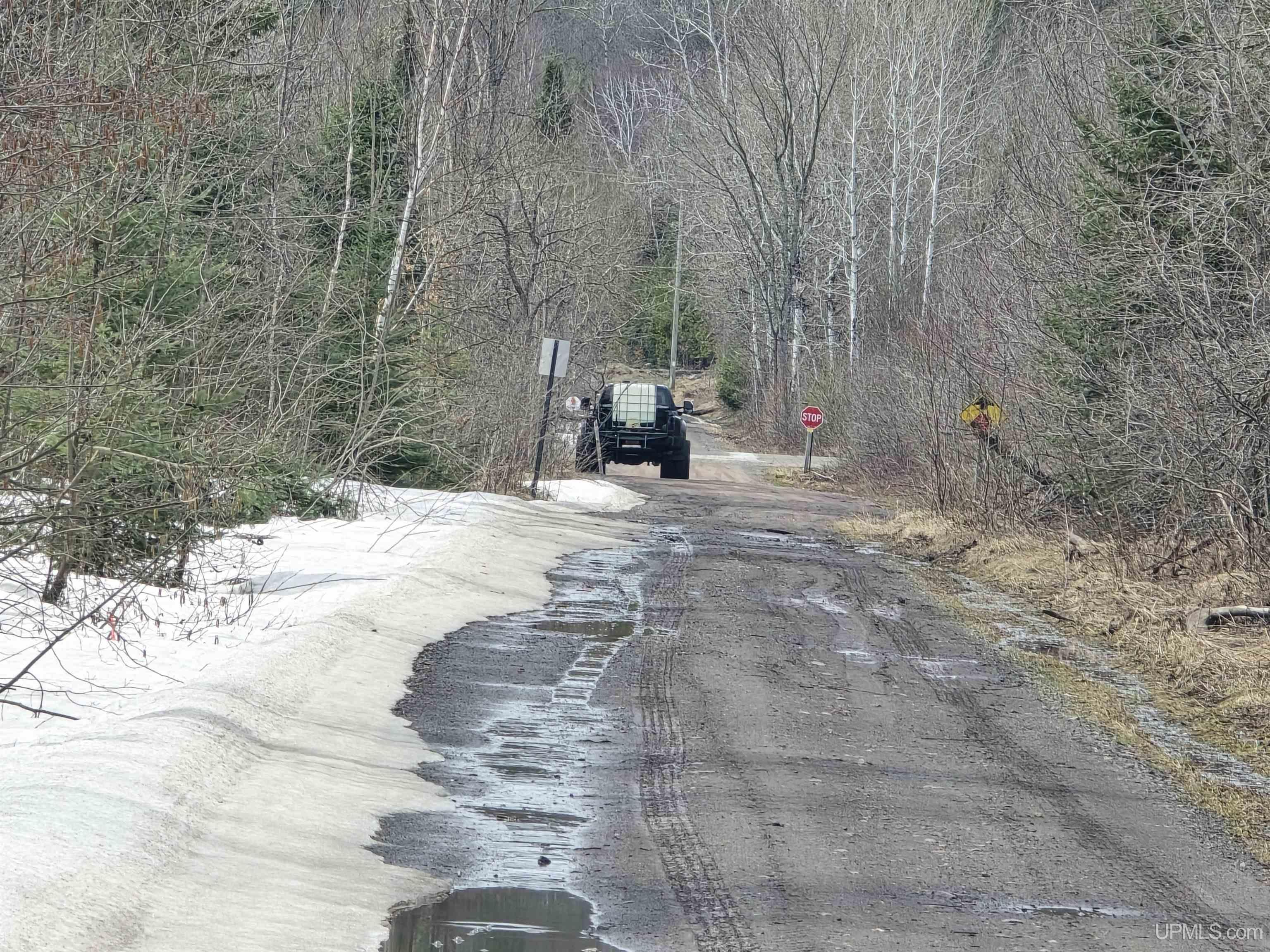
ROAD ACCESS City/County, Paved Street, Year Round |
|
WATER FEATURES None |
|
ACRES (APPROX.) 9.20 |
BODY OF WATER |
|
ROAD ACCESS City/County, Paved Street, Year Round |
LOT DIMENSIONS
|
Irregular |
SHORE TYPE
|
Not Applicable |
|
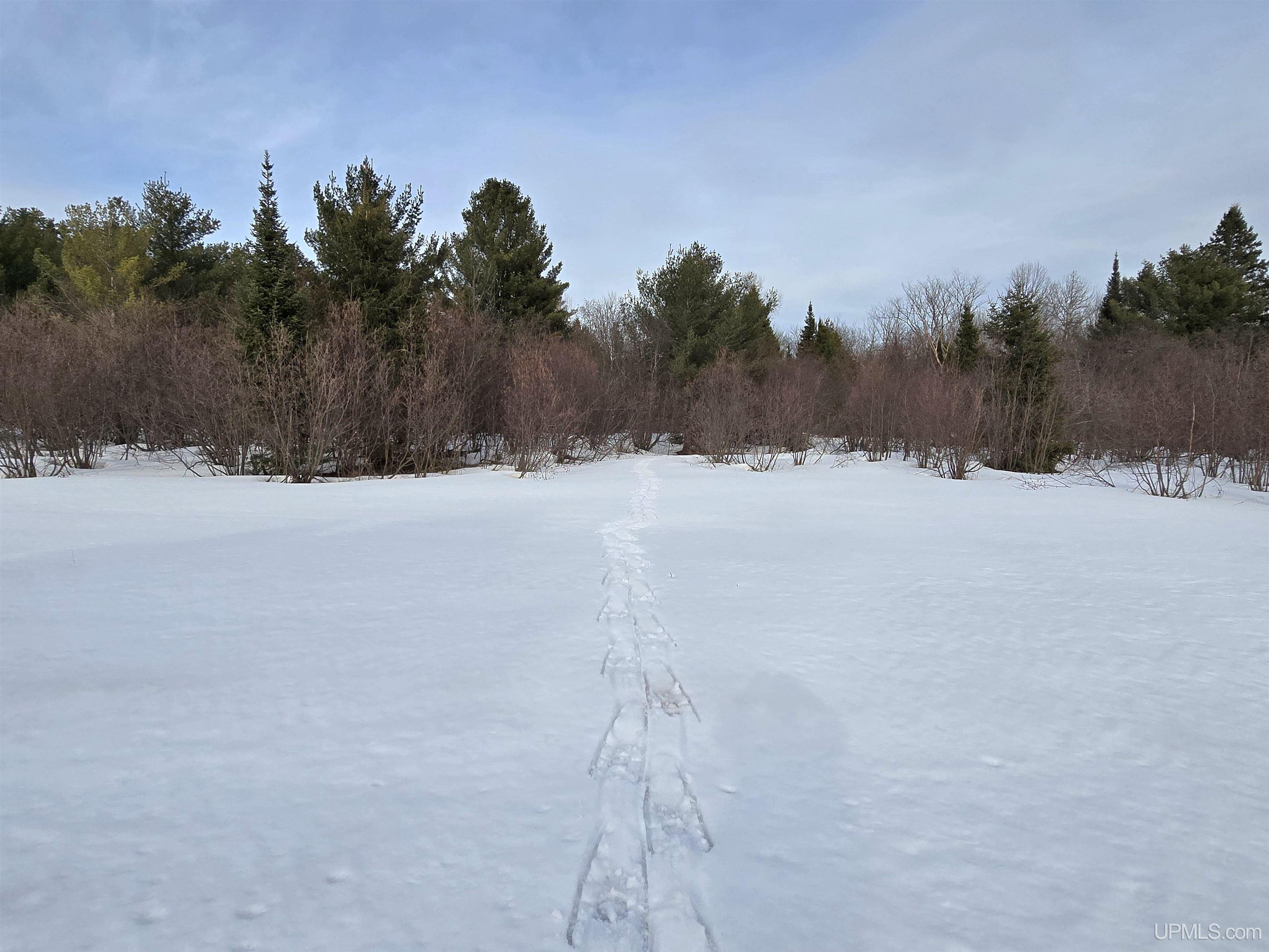
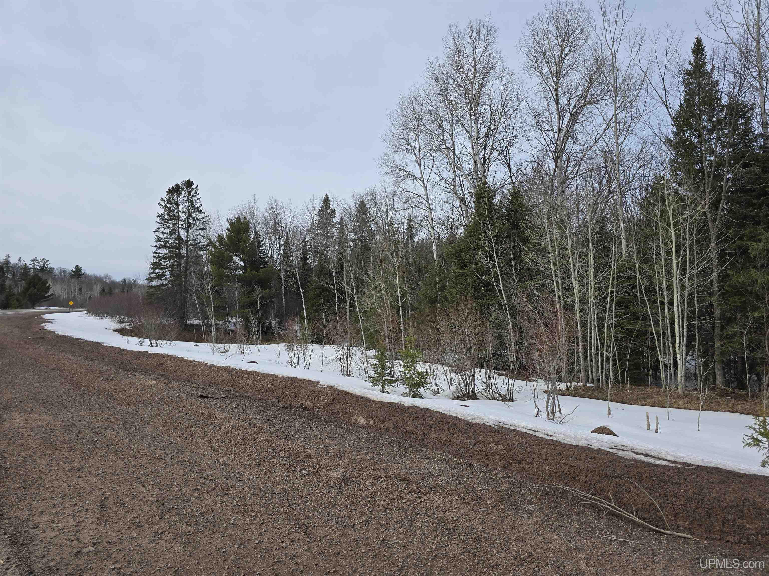
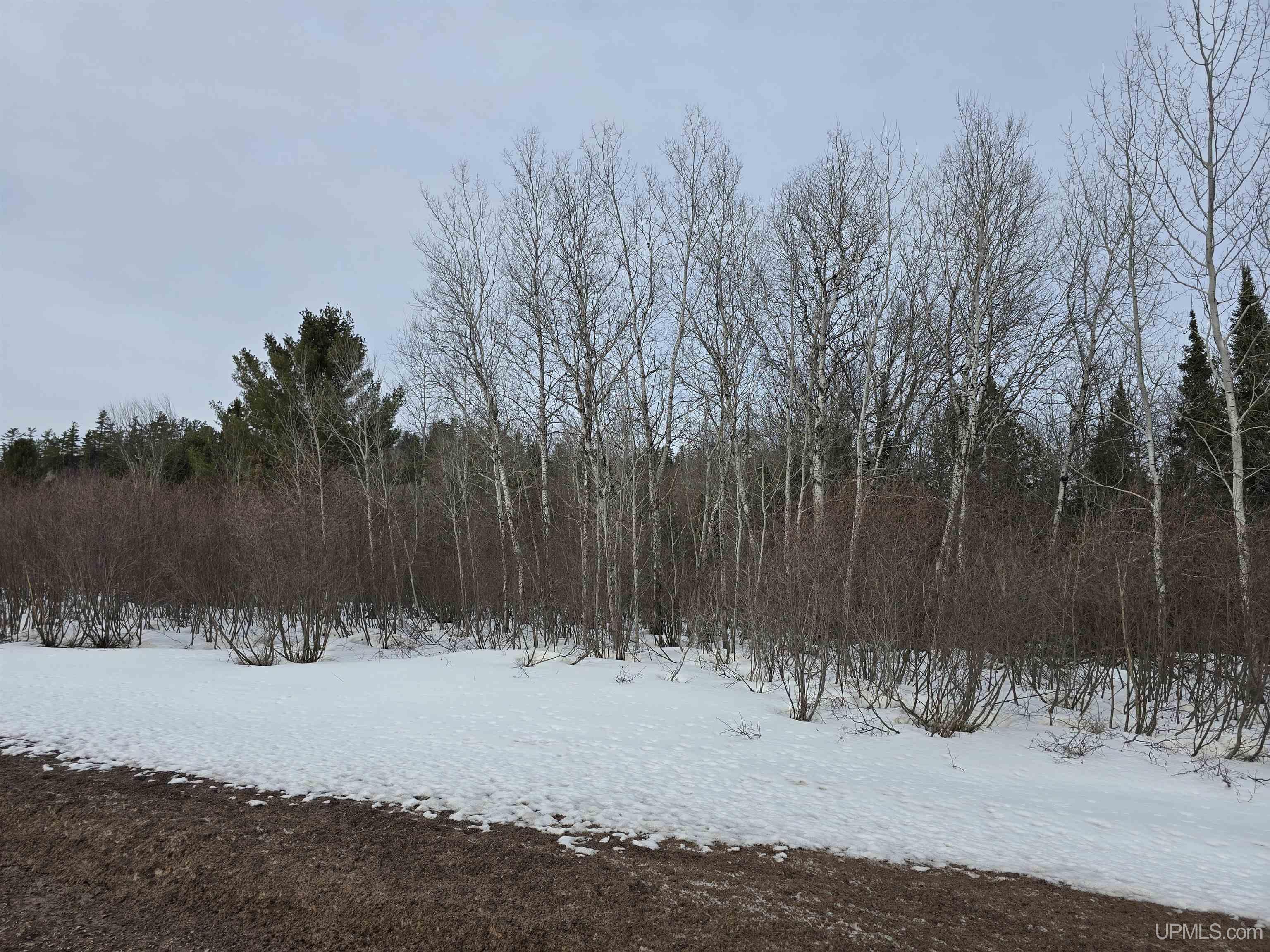
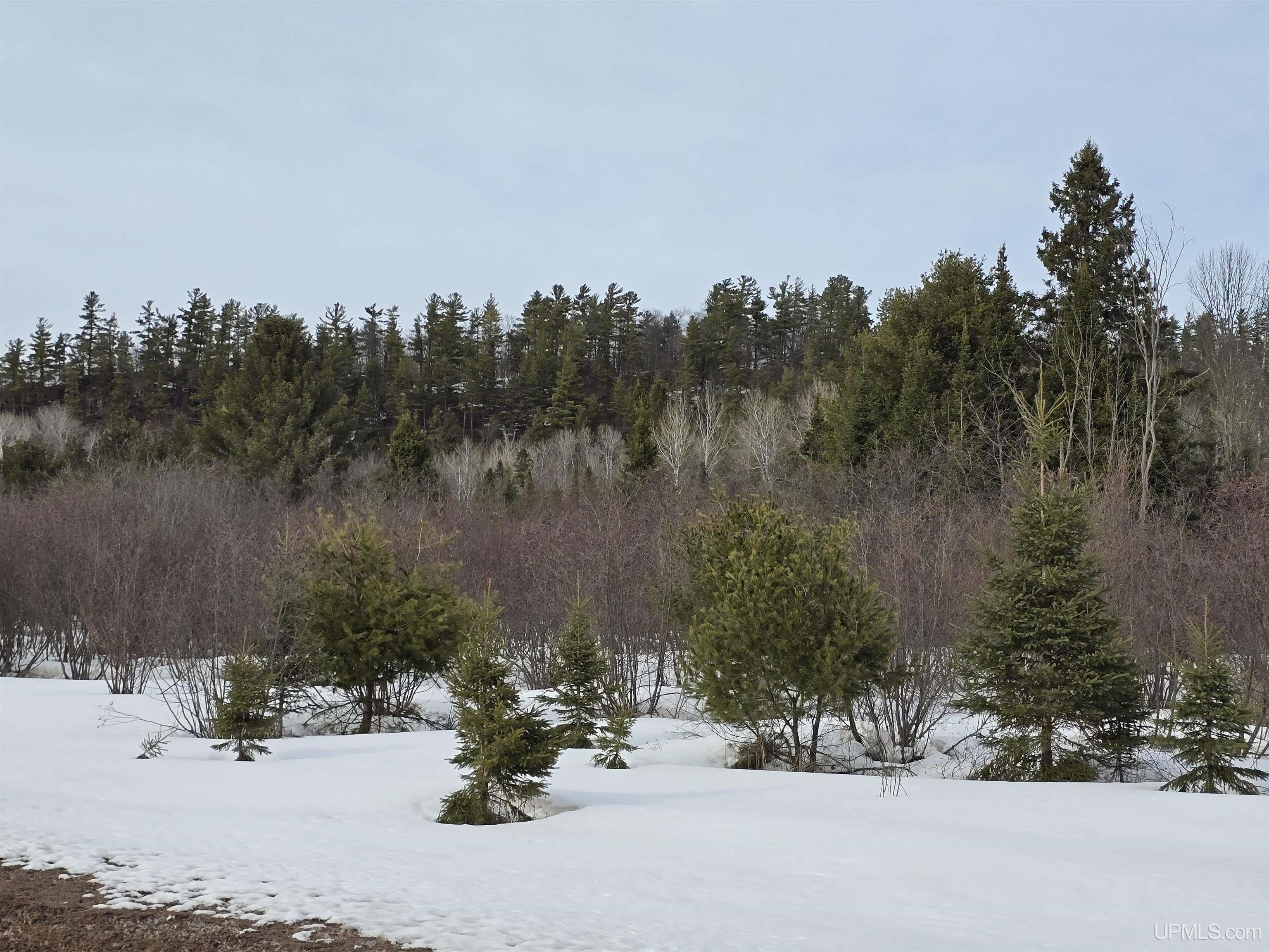
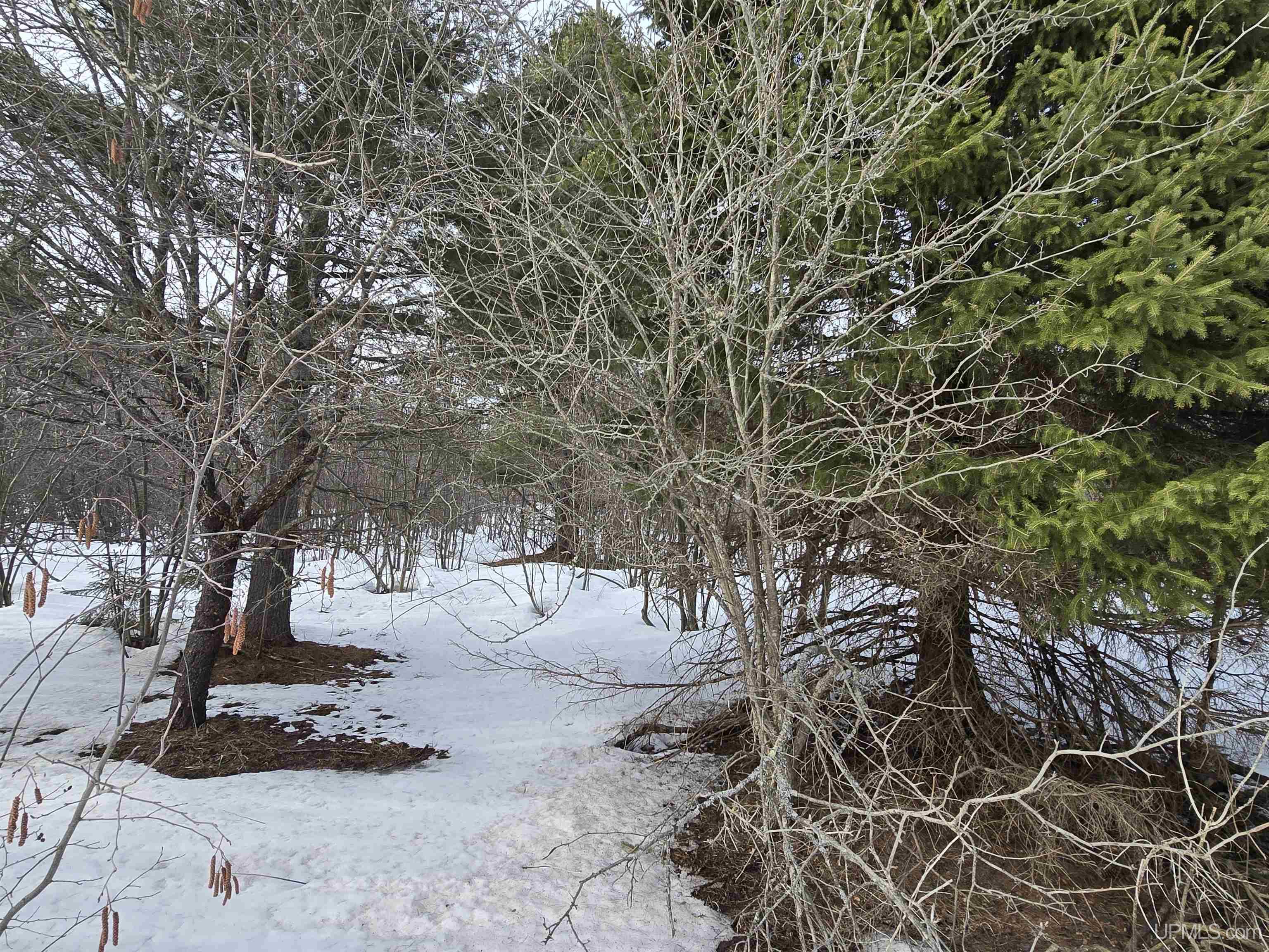
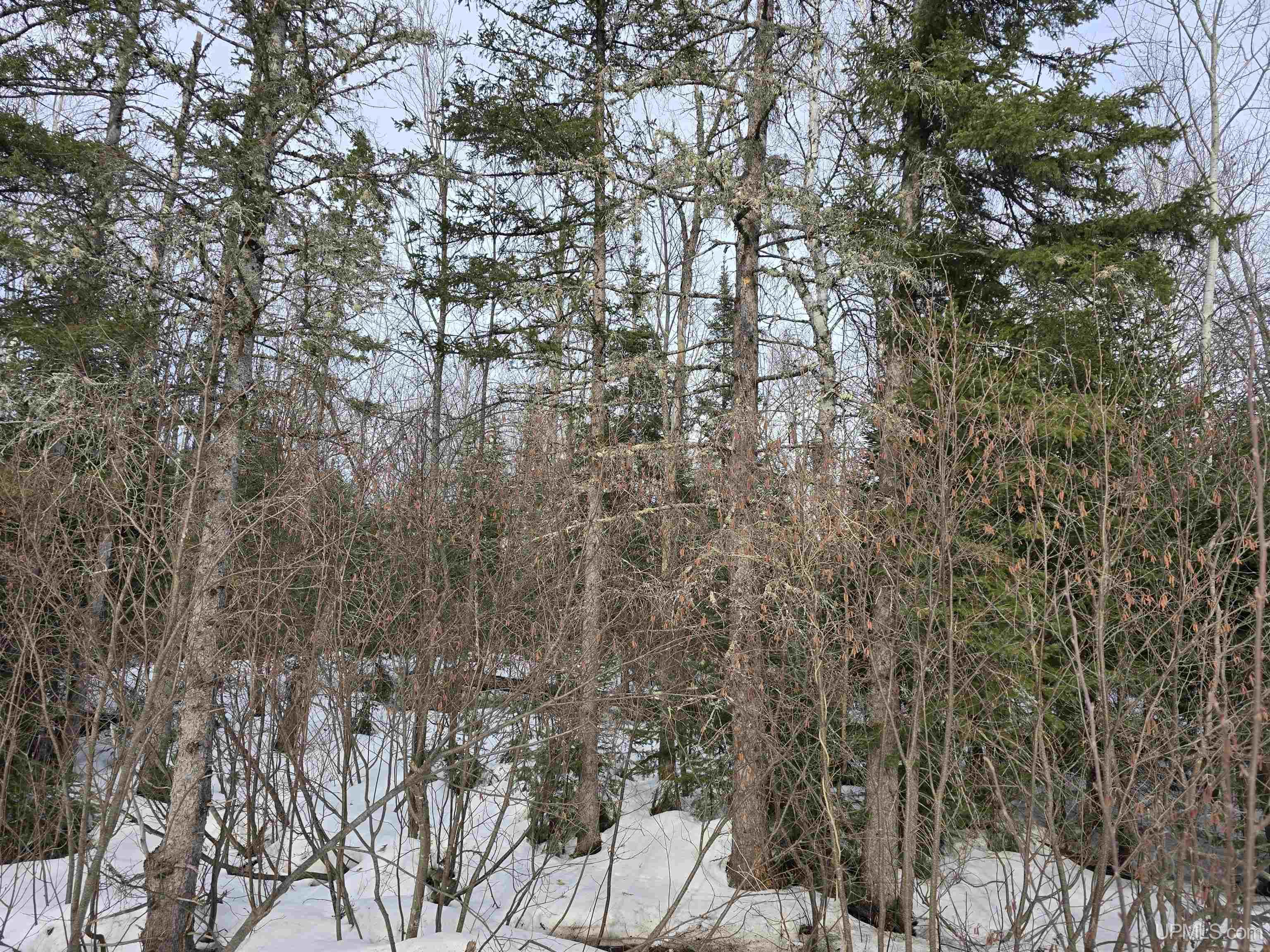
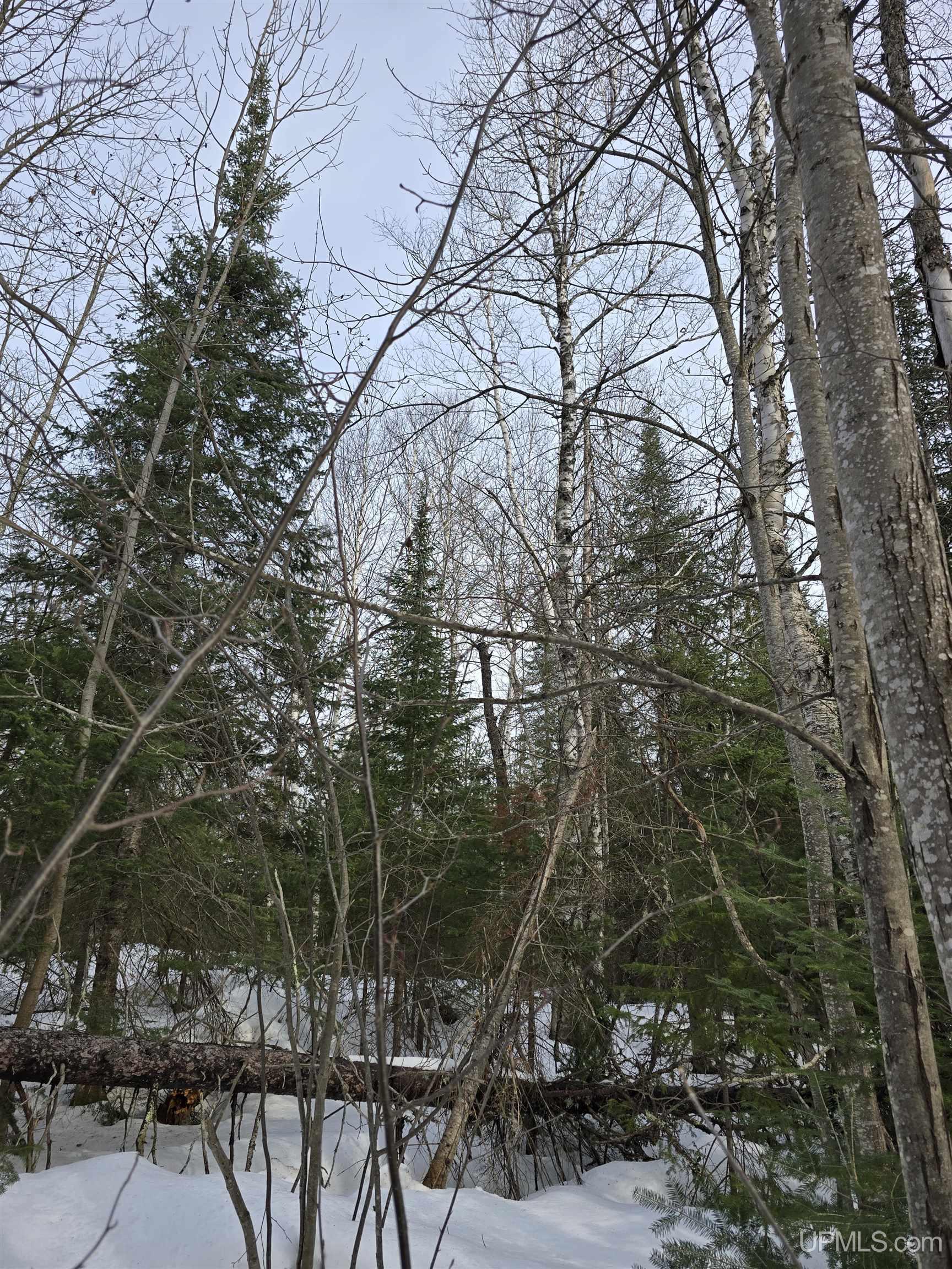
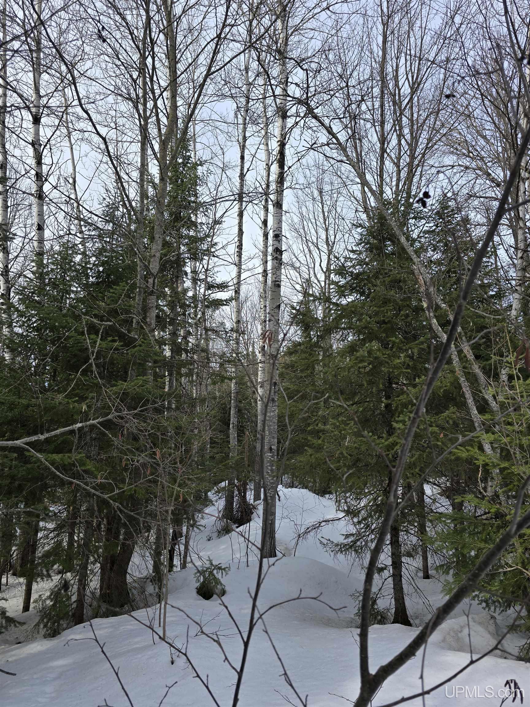
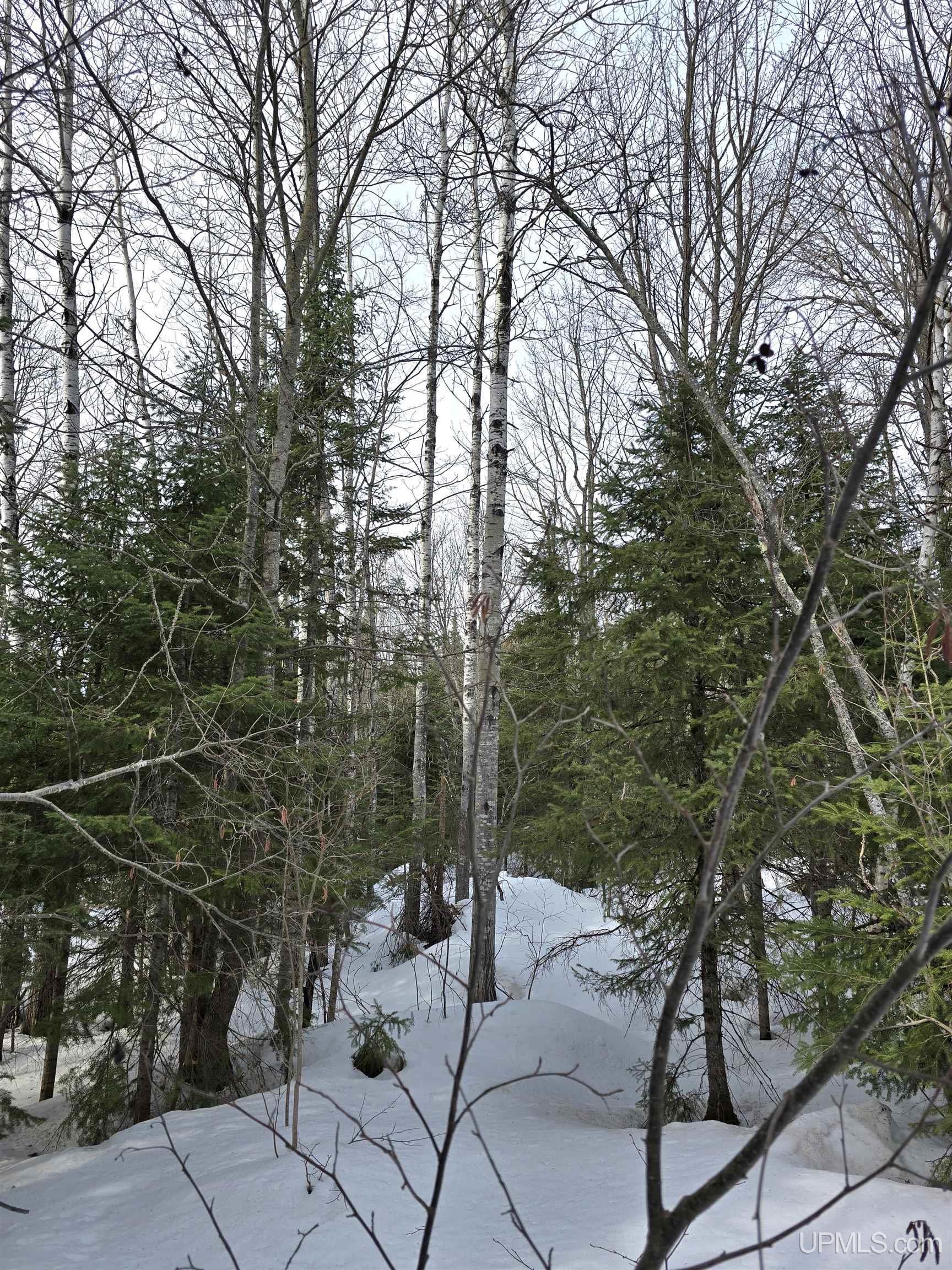
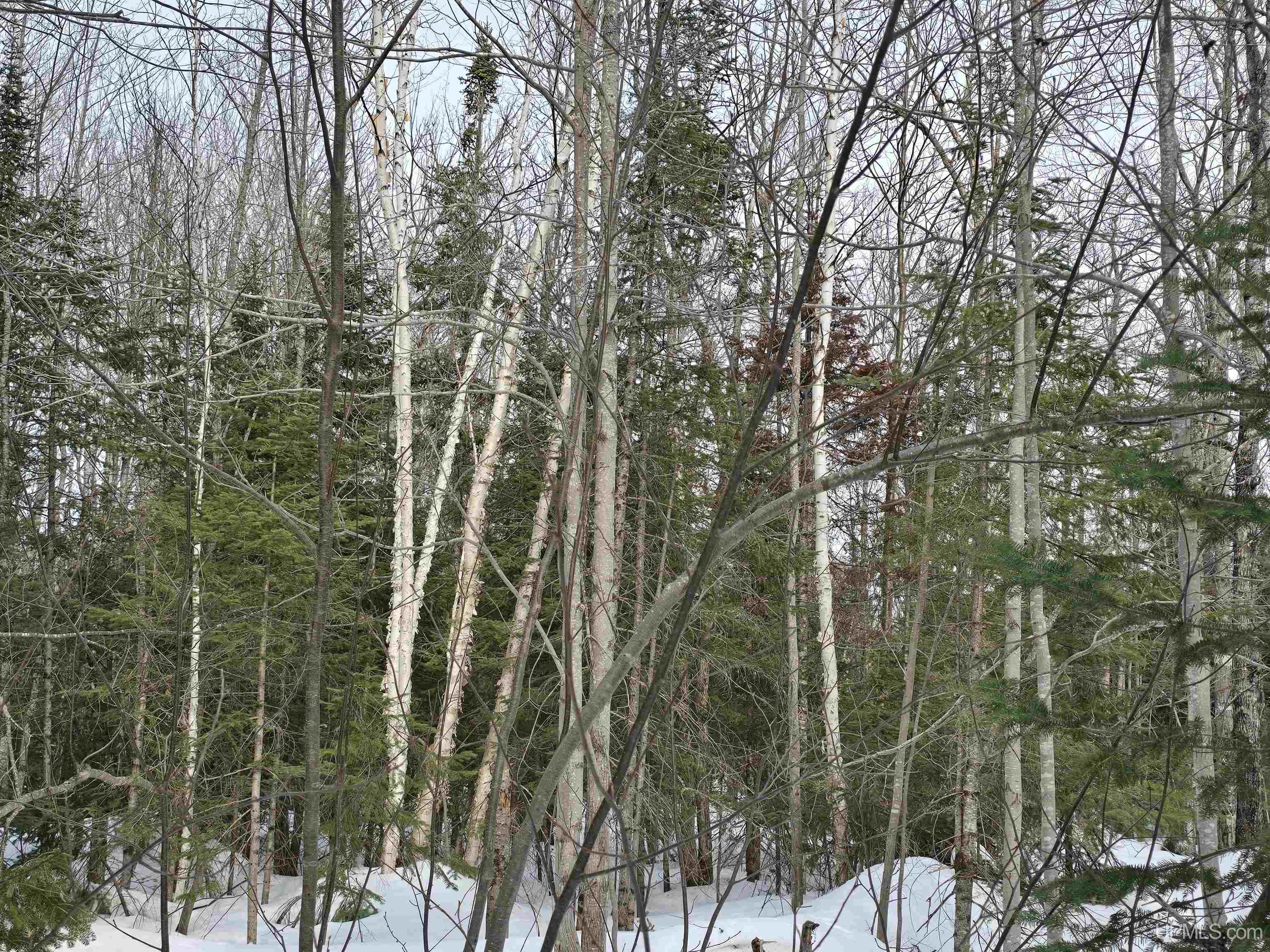
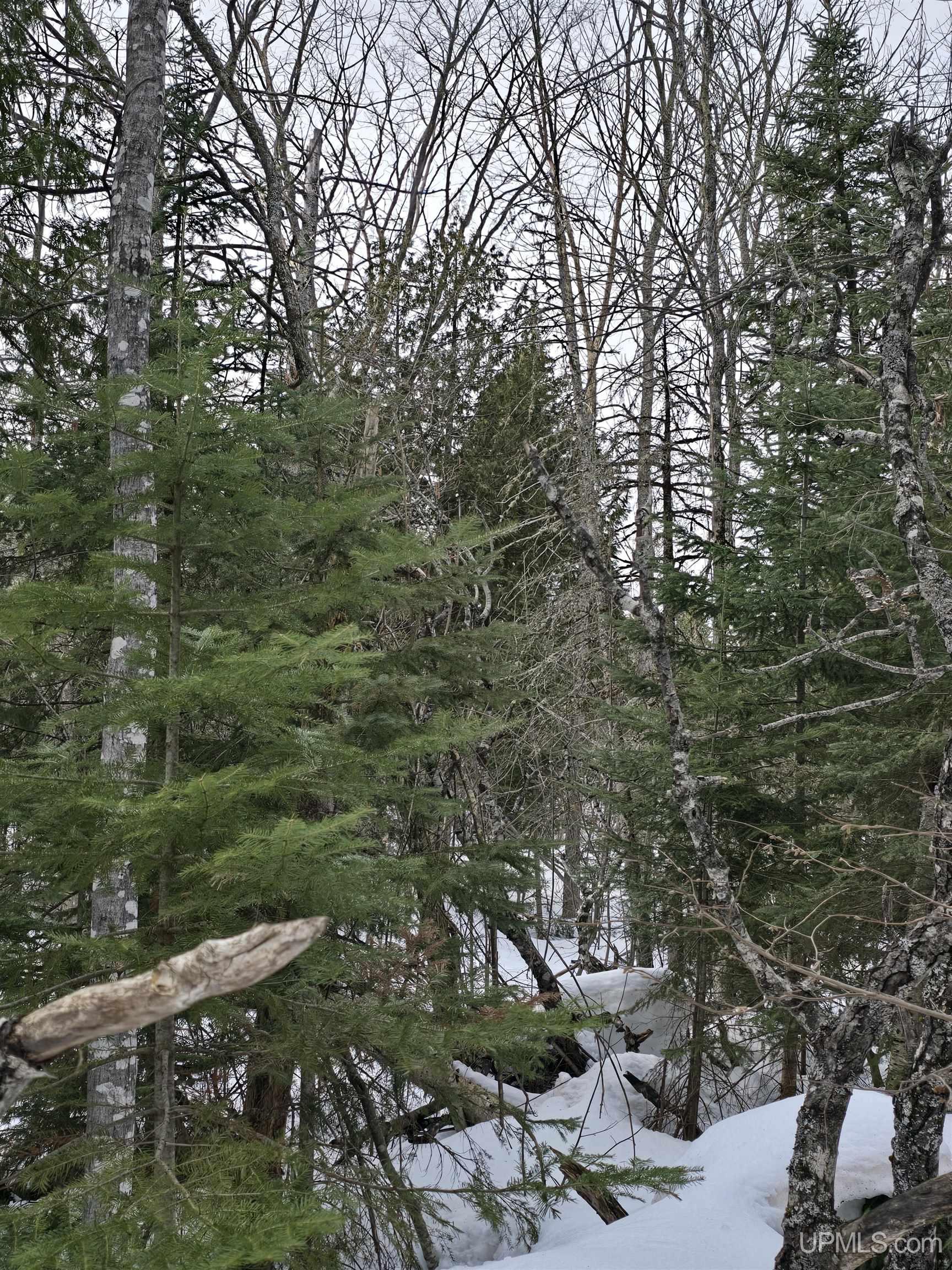
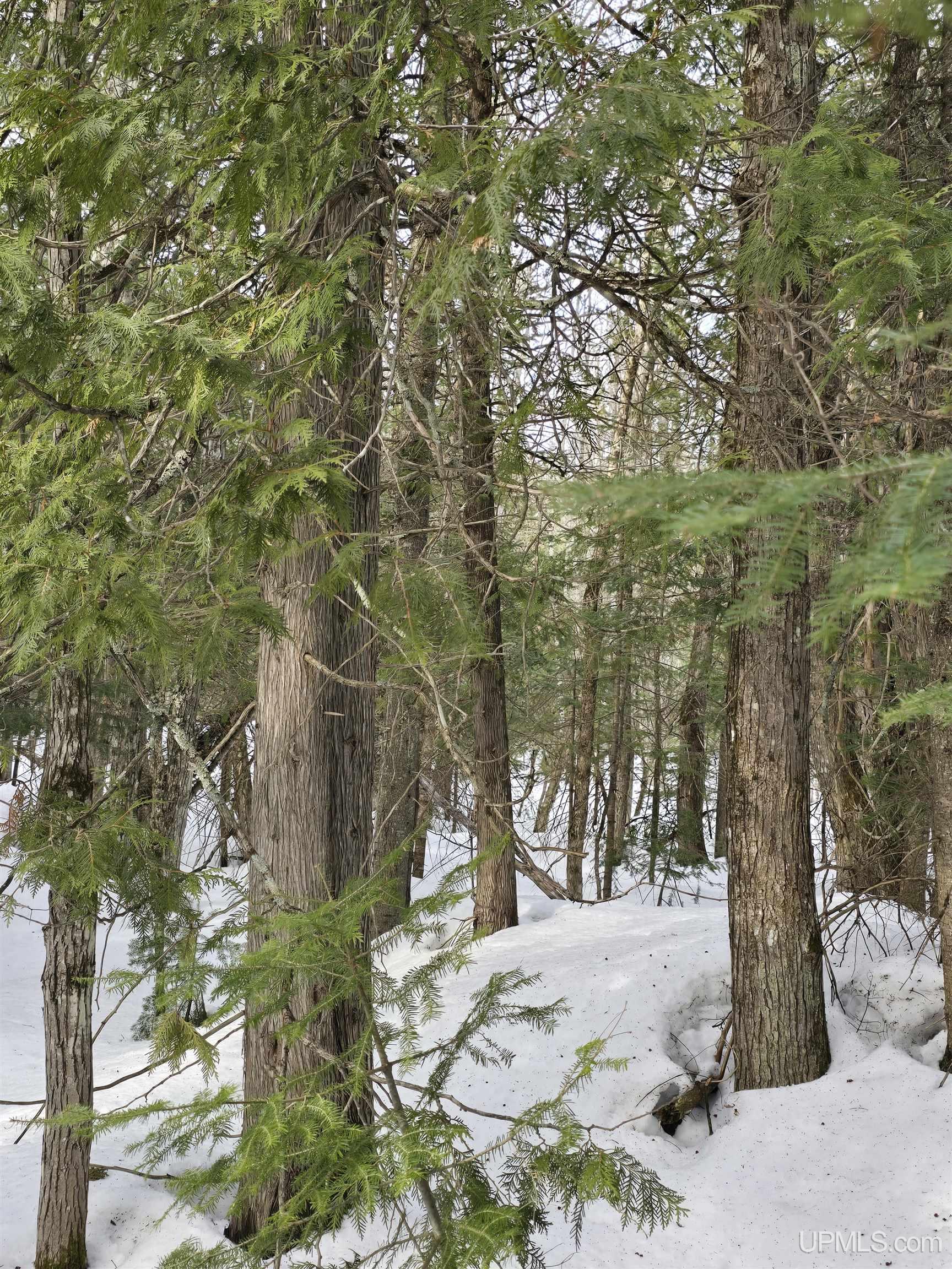
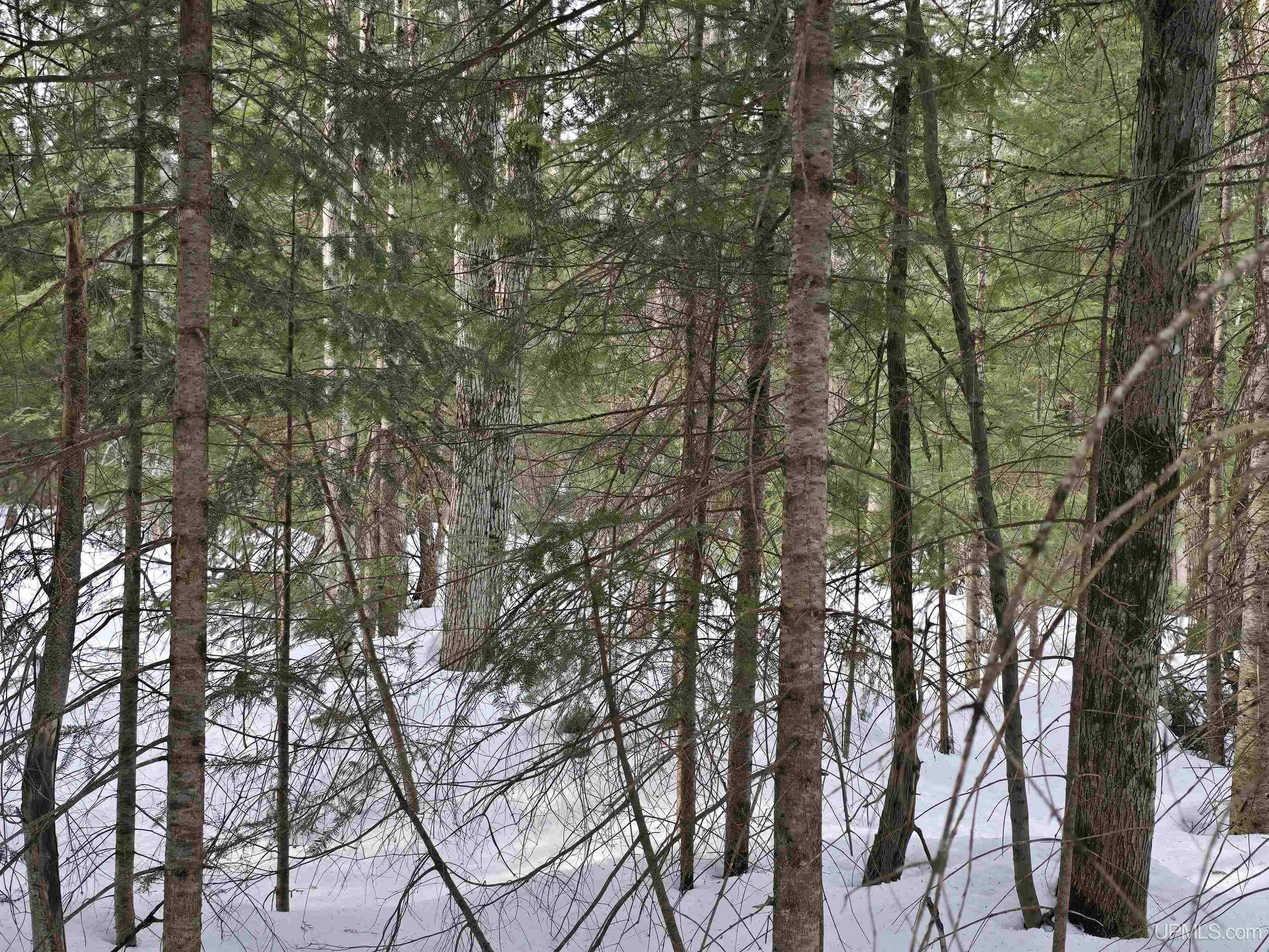
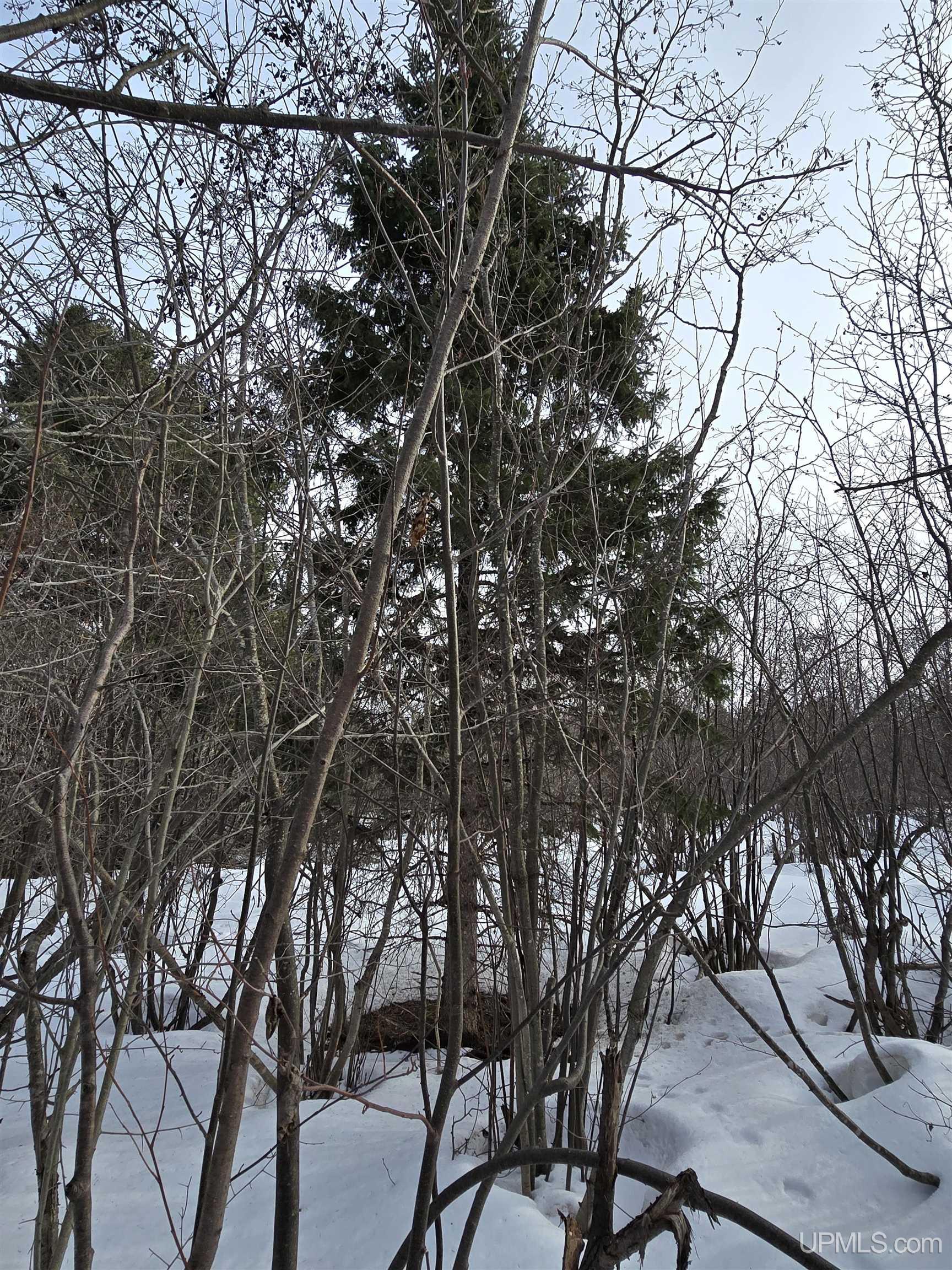
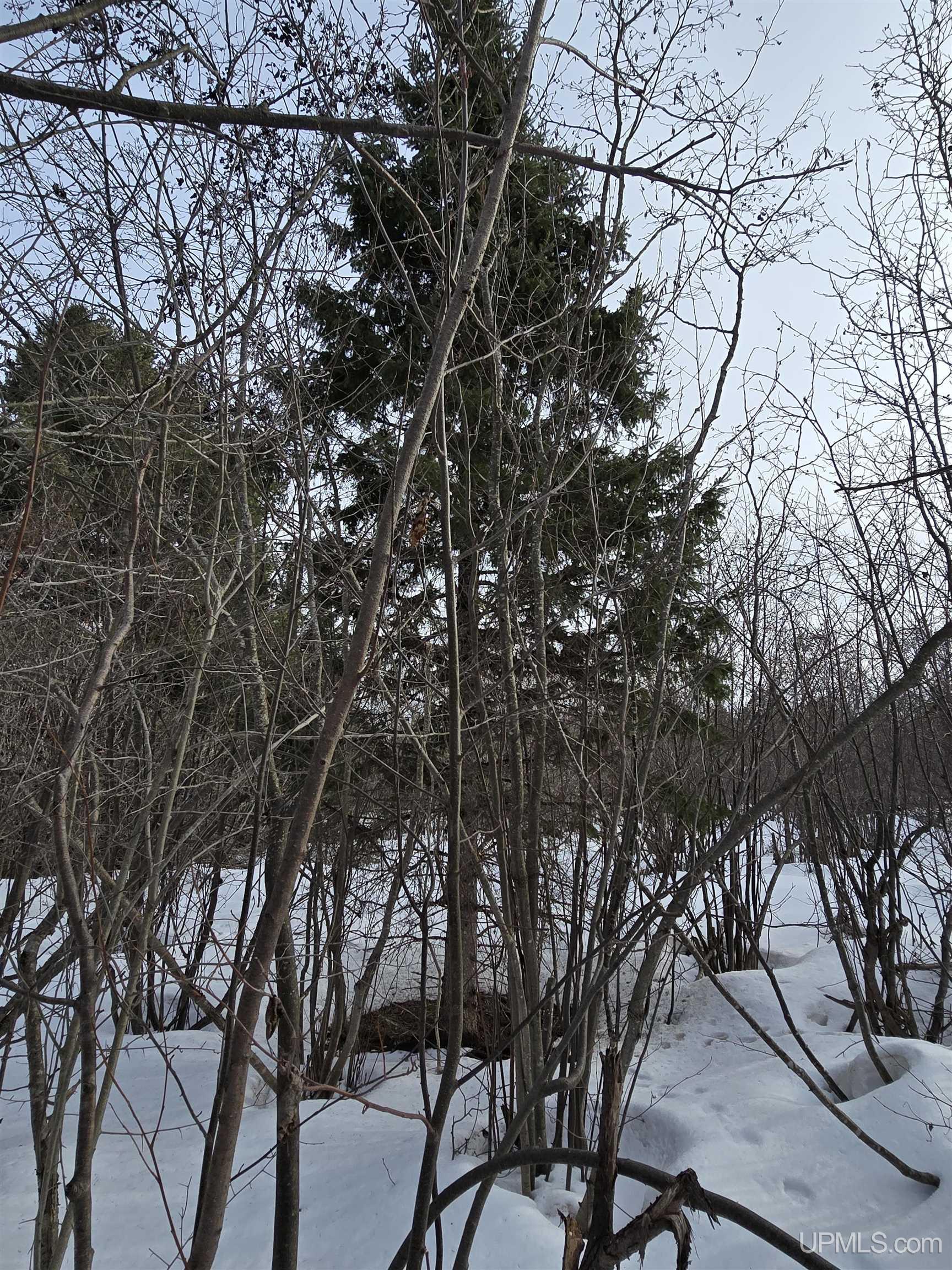
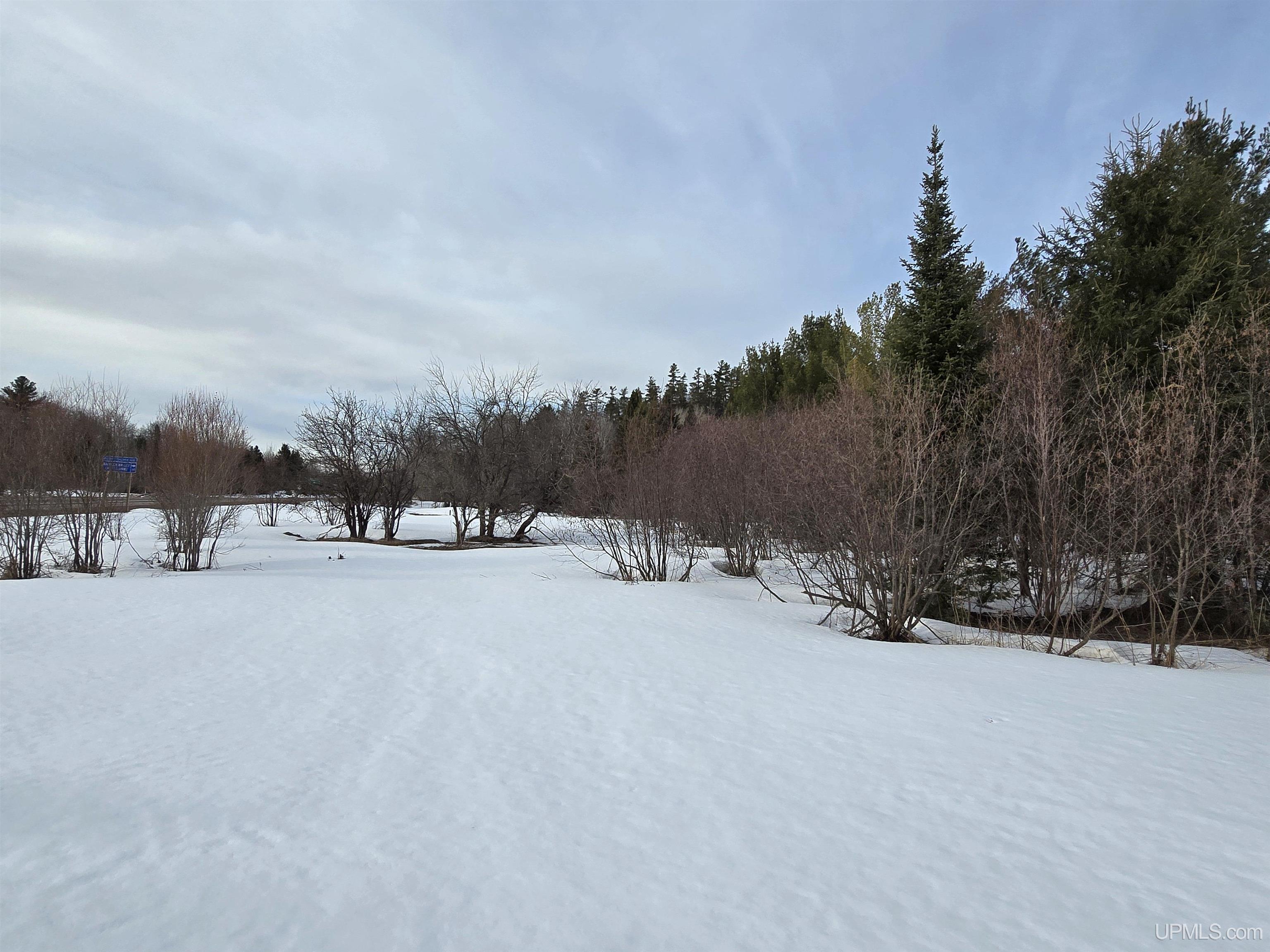
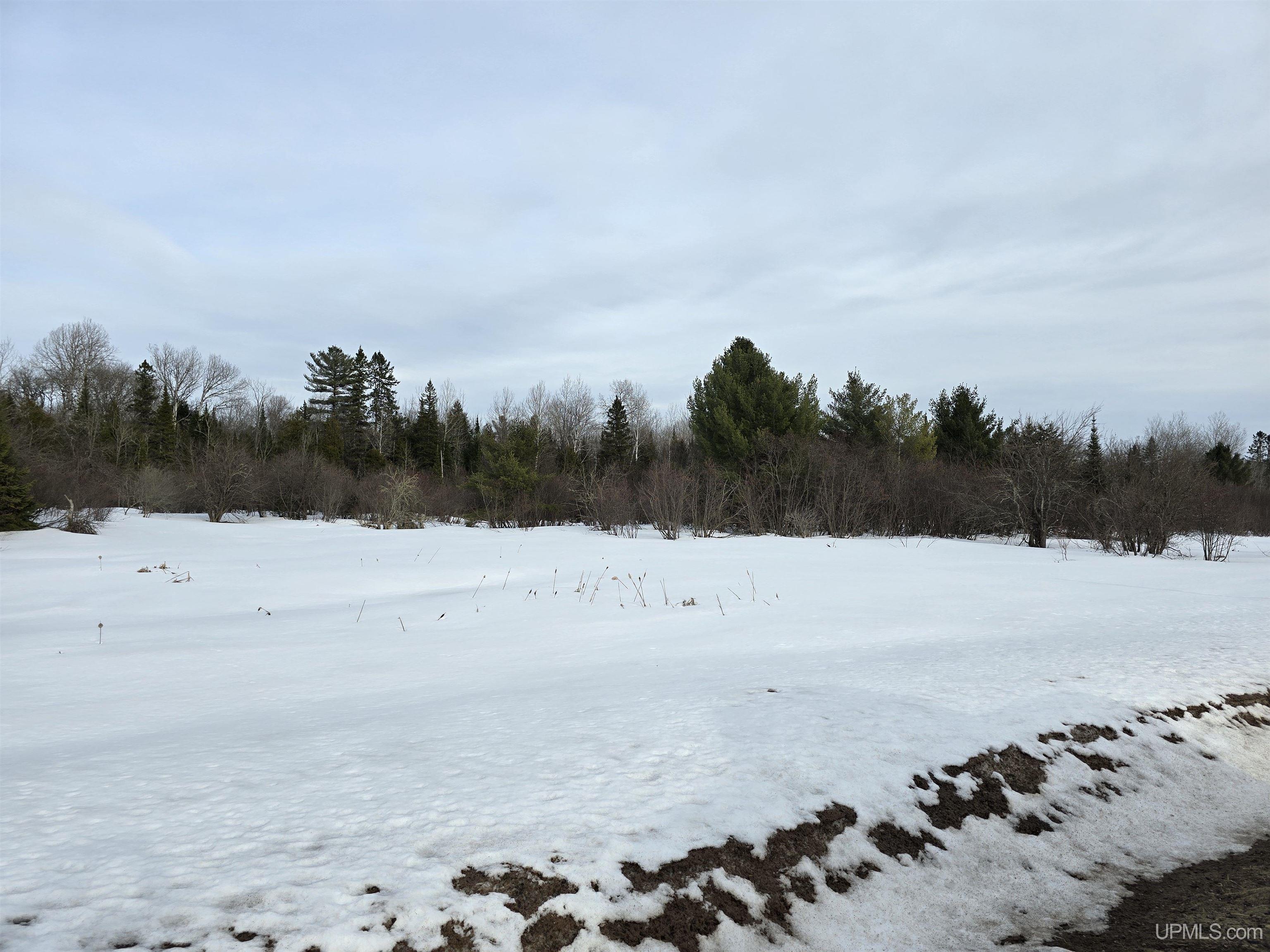
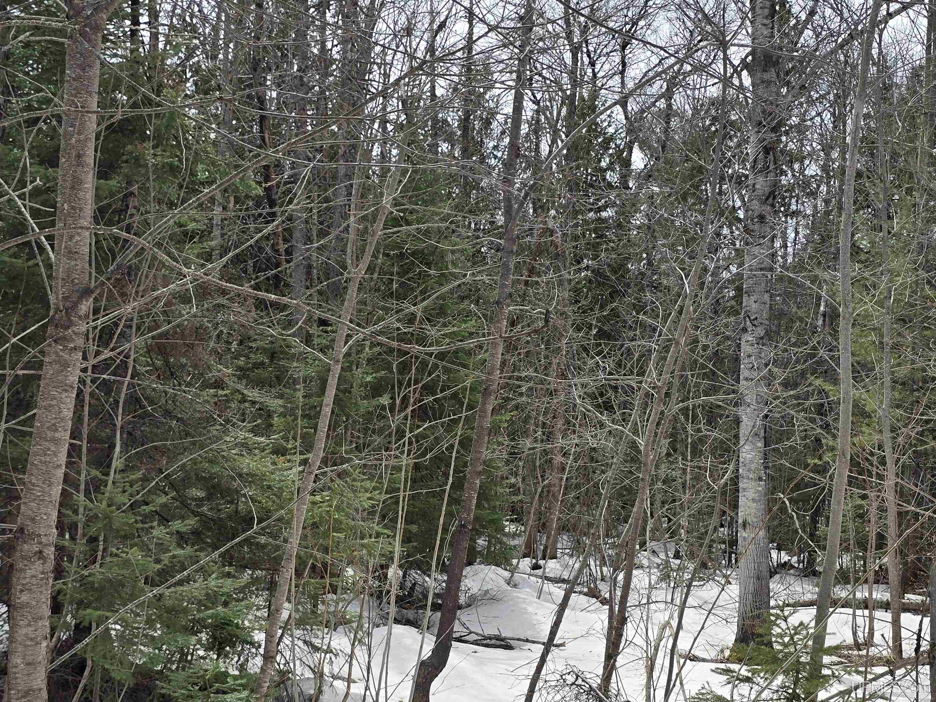
TERRAIN Deep Lot - 150+ Ft., Large Lot - 65+ Ft., Sloping, Wooded |
Utilities
|
UTILITIES Electricity Available, Natural Gas Not Available, Phone Available, Sewer Not Available, Water Not Available |
|
SEWER None |
|
FUEL ON SITE None (Fuel On Site) |
Listing Details
|
LISTING OFFICE Up North Realty |
|
LISTING AGENT Maki, Bruce |